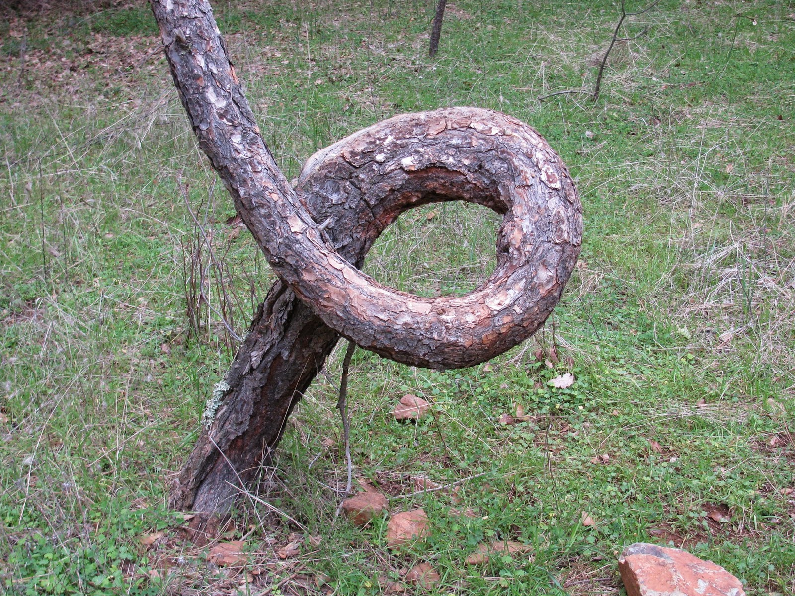
And we're off . . . It's January and I have not hit the trails yet this year. Time to change that. While looking for some off-season trails in the surrounding areas, I came across this little gem. As I understand it, Hidden Falls has been a regional park in Place County for some time, but as recently as the last couple of years, it has been expanded significantly and now includes many miles of well maintained trails. Considering this is only 30 minutes or so from Sacramento, I suspected it would be very popular even in winter. That said, I got a pretty early start and arrived a the park just after nine in the morning.
Before leaving home, I had plotted out a patchwork of trails that I wanted to try to combine in to a loop around the park. Once I arrived though and hit those trails, I found that while that while the trails themselves were very clearly visible, the signage was lacking a bit. Talking with a fellow hiker, we were both looking for one by the name Poppy Trail. We had a friendly disagreement about which one it was and went our separate ways. It turns out that I was right, but I had to tackle some steep and slick downhills to get to it. The majority of the trails in this park are red clay and with the morning fog, which seemed to fill this little valley, everything was a bit slick.
Making my way to the Poppy trail, which follows the Coon Creek all the way to the main bridge across, I crossed and switched to the Hidden Falls Access trail, which again follows the creek, but this time from the other side. As I approached the falls, the obvious sound of water crashing entered my ears and looked down the hill to an observation deck overlooking the falls. Unfortunately, I had to explore a few side trails to finally get down to the deck.
The falls themselves are a pleasant site. Having three main tiers, the falls total approximately 100 feet to a number of large pools below. And just below the falls, this creek merges with another to become a fairly large body of water (Note: I grew up next to the Mississippi River and so nothing on this side of the country is truly a large body of water by my calculations) at least compared to most of the other rivers and creeks in this region.
Following the trail around the fork, the trail merges with the North Legacy Trail and then crosses a sturdy bridge. Continuing on the North Legacy Trail, I could see the trail I wanted below me, but apparently this section of the Creekside Trail is one-way only. A one-way trail doesn't have a lot of meaning to hikers, but there a number of mountain bike enthusiasts out today, and for them know that the trail down there is one way is important. I continue until I find a side trail leading down to the Creekside trail, as fate would have, just a the point the one-way section ends. I follow this trail alongside the wide creek for a couple of miles, stopping here and there for a photo opportunity. At one point, I see a number of creek bed stones stacked on top of each other to form a number of steep pyramids on top of the large stone base. Stacks like this are often used to mark the trail, and while these are not technically on the trail, I wonder if they are indicating something worth seeing. I walk over and find a nice stone clearing with a few rapids in the creek. Pretty nice little area.
The Creekside Trail continues along the creek until it reaches the northwestern edge of the park, and then joins with a couple of other trails before crossing another large foot bridge. From here, I switch off to the Gold Finch Trail and then the Great Egret Trail, all the while hanging beside the creek, but on the opposite side and back toward the parking lot. Eventually, I merge back to the much larger South Legacy Way, which I follow all the way back to my jeep.
By the time, I get back the parking lot is now full and people are jockeying for someplace to park their car. I'm glad I got here early. Overall, this was a very pleasant little hike of about 9.3 miles. One could easily double this distance through the network of trails at this site, but for the first hike of the year, it was a nice distance and a very pleasant place to visit.


