Saturday, August 21, 2021

Angel Falls River Trail - Big South Fork (Scott County, Tennessee)


After completing my previous hike to Buffalo Arch, I was left hungry, hot, and sweaty. I grabbed some food on the drive back to the campground, but as I sat there watching storm clouds tease a pending downpour, I decided that I wasn't going to stay here another night. It's not a bad place and Bandy Creek Campground, where I was staying is very nice, but this humidity is just killing me. I quickly break down my tent and decide to head for home. As I drive out though, the clouds seem to become a little less angry and I decide to get in one more short hike before I leave the area. I'm told Angel Falls is more of a rapid than a true waterfall, I guess I'll find out for myself.

Being so close to the campground and the park's visitor center, there is definitely a lot more human activity here than at my last trailhead. That said, it's still not very busy. I park the jeep and quickly hit the trail. While I'm always a fast hiker, I want to beat the rain should the clouds change their mind. Along this entire hike, I maintain a nearly 4.5 mile pace.

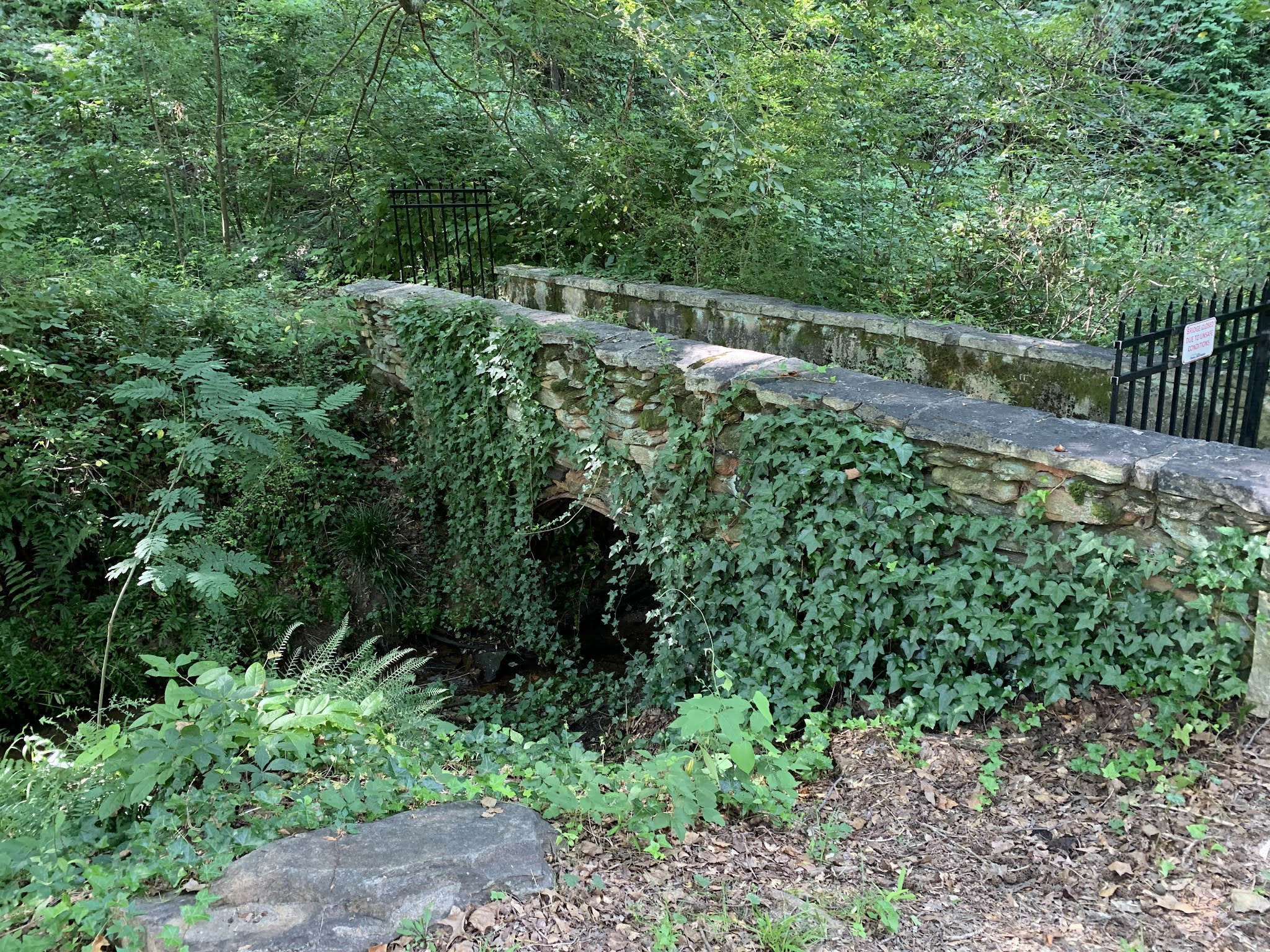
The trail follows the extremely muddy Big South Fork of the Cumberland River, for which this area and park are named. The trail is very rocky with a few soft muddy sections. At a couple of spots, I'm forced to climb down and then back up as I cross small streams flowing out of the cliffs and into the river. It breaks up the monotony a bit.

I pass a few folks along the way, but for a Saturday, it's still not very busy. Perhaps the pending storm or the monstrous humidity is keeping people away. I would say that people should be swimming in the river to cool off, but this thing is brown with mud from the recent rains.

Finally reaching the "falls", I leave the trail and head out onto the rocks jutting out of the riverbed. This is far from a waterfall and is really nothing more than a set of quick-moving rapids. I bet it would be fun to take a kayak through this section, but as I don't have a kayak with me, I'm a little unimpressed with the site before me. Ah well, I wanted to get a few more miles in and I've done that now. 

I turn and head back towards the jeep. When I reach the parking lot, I'm once again a sweaty mess. I see that I've hiked another 3.9 miles, which makes for a reasonably good day on the trails. I just wish this last hike had as big a payoff as the first one did. You can't win them all, I suppose.

Buffalo Arch (McCreary County, Kentucky)


I don't recall when I learned of the Big South Fork National River and Recreation Area, which spans the Kentucky-Tennessee border, but since that time, I've been interested in visiting. A while back I decided to make camping reservations and spend a weekend exploring the park. And with that weekend upon me, I drove to the park after work on Friday evening, arriving shortly before midnight. I quickly erected my tent and went to sleep amidst the unwavering sound of the July Flies above me and all around me. Through the night, I awoke several times. It's very hot and very humid here. When I awoke shortly before sunrise, I exited my tent to tend to some business and then returned to sleep another hour or so before finally getting up for good around 7:00 AM. After getting a little snack and securing my belongings, I hoped in the jeep and drove to the trailhead of my first planned hike for the day, which follows the Parker Mountain Trail to Buffalo Arch.

The trailhead is about an hour and fifteen minutes from my campground and consists mostly of gravel roads. Though I was camping in Tennessee, this trail takes me just across the border into Kentucky. The trailhead itself is nothing more than a wide pull-off above Rock Creek. This is a pretty remote area and while I did pass a few folks camping alongside the road on my way here, there is no one to be found anywhere near this trail. After checking my map, I head up a modest incline and into the woods. 

I can tell that this trails isn't visited much by the brush that has started to overtake it in areas and the multiple face-fulls of spider webs that I get along the way. It's well marked though and pretty easy to follow. Along the way, I pass by numerous house-sized boulders and a number of water-carved caves. The trail dips into a couple of these briefly and the muddy and unstable conditions offer a little bit of a challenge, but I'm able to get past without incident.

As I reach what appears to be the top of the Cumberland Plateau, the trail flattens out for a good mile or two. It's at this point in time that I finally decide to pick up a stick and start waving it out in front of me to preemptively remove the spider webs with something other than my face. It's also during this time that I really start to get discouraged due to the humidity. It's nasty hot here and I'm sweating like a pig. I really hope the payoff is worth the discomfort. 

Reaching a point near the end (according to my map), the trail starts back down hill a bit and cuts through some very thick rhododendrons for a spell. It's so thick in fact that it's almost dark through this area, even though the sun is far above me pounding my surroundings with sunlight. As I emerge from this thick cover and make my way around one final bend, I see it. There above me, is a massive natural arch. From the shape and general topology, it appears like that it was once a solid stone face that over time had a cave carved into and then finally as the back of the cave was carved away, a gigantic natural arch was left. Though the geology is much different, the shape and scale remind me a bit of the Double O Arch in the Devil's Garden section of Arches National Park in Utah. The natural wonder before me is as breathtaking as most in that famous park, though this one is much less known. With a clear path to the top, I consider climbing up to the to, but the humidity here is just beating me down and I decide to turn back and head for the jeep.

The return trip is pretty uneventful, other than to note along the entirety of this 5.4 mile trail, I didn't see another soul. Luckily very few of the spiders had time to rebuild their webs before my return trip and I left with much less spider web silk in my face. The payoff at the end was definitely worth the hike, but this heat and humidity is making me reconsider the rest of my plans for the weekend.

Saturday, August 7, 2021

Sweetwater Creek State Park Sunset Kayak Tour (Douglas County, Georgia)

I've been doing a lot of kayaking this year. I sold my own kayak to a good friend prior to leaving Reno, but I never realized how popular the sport would be and how much I would regret my decision. While I've been looking to buy a new one, the market is very fast moving and I've had terrible luck in finding the one that I want before someone else snags it. So to mitigate the problem, I've done a number of tours with local REI stores in the region. One of my favorite state parks is Sweetwater Creek on the opposite side of Atlanta, and when REI posted a sunset kayak tour of the park, I had to jump on the opportunity.

It's roughly an hour drive from my home to the park (depending on traffic) and allowing plenty of time, I arrived about twenty minutes before the start of the tour. As I chatted with the REI guides and got my gear ready, we were closely monitoring a thunderstorm. As luck would have it, the storm seemed to be forking around our location in the park. Thankfully, it didn't put any damper on our plans for the evening.

As the entire group arrived, we chose our boats and the guides went through some basic overviews of the gear and strokes. Soon, we were all in our boats and on the water. I have to brag a little bit in that I was the only one to successfully get into my own boat without assistance. As many trips as I've taken this year, it's starting to be come second nature to me.

I was actually expecting us to hit the moderately fast moving waters of the creek itself, but after talking with our guides, it seems our tour would be limited to the George H. Sparks Reservoir, which pulls it's water from the creek. It should still be a fun time. As we go through some basic paddle maneuvers, we slowly make our way over to the north side of the body of water, which requires us to shoot through a tunnel that passes under the highway. This should be fun. One of the guides goes first and I follow quickly behind. I had build up enough speed to coast through, but as I got to about the halfway point of the 100 or so foot tunnel, our guide slowed down, forcing me to slam on my "water brakes" to prevent a collision. It was fun nonetheless and soon our entire group was paddling on the far side of the reservoir. 

From here, we make our way up a shallow inlet, observing the cranes, herons, and an eagle above us. The waters in this reed-strewn inlet remind me of the blackwater creeks I paddled in South Carolina a couple of months ago, though the water is not nearly as black. It is shallow though. I plan my paddle to test and realize that my boat is setting in less than two feet of murky water. We make our way up a short distance and then realize that a fallen tree is blocking any further progress. With that discovery, we turn around and head back through the tunnel.

As the sun comes to a rest in the western sky, we float serenely on this large body of water, just enjoying the evening and the mesmerizing waves caused by a welcomed evening breeze. As the sun drops below the horizon, we make our way back to the shore where we had put in a couple of hours earlier and begin to pull our boats from the water. I check my GPS track and see that we managed to paddle about 2.8 miles over this calm lake. It was quite an enjoyable evening. Now, if I can just find a kayak that I want to buy!

Sunday, August 1, 2021

Ivy Terrace Trail and Planetwalk (Hall County, Georgia)


I had promised my elderly mother I would get her out for a hike sometime this weekend. I keep a running list of trails, complete with distance, relative difficulty, and location. From that list, I chose to take her to the Ivy Terrace Trail near Gainesville, Georgia, which is just a few miles northeast of my home. Having researched the trail a little bit, I knew it was mostly paved and shaded, and should be ideal for her ability, though the distance might challenge her a little bit.

After parking my jeep, we head out along the finely groomed trail, which follows a small stream. Kudzu has taken over much of the flora on the far bank of the stream and perhaps is where the area gets its name. The nearly flat trail cross the creek in a couple of places via covered bridges, which is a nice surprise. I also note an abundance of beautifully intricate garden spider webs all over the place. At one point, I stop to watch a battle between a wasp and one of these spiders. Eventually, the two combatants call it quits and go their separate ways, but it was interesting to watch.

My mother is in fairly good health, but just can't maintain much of a pace. I don't mind though, ti's nice spending time with her and getting her out for some exercise. Whenever she sees me stop to admire something or snap a quick picture she stops as well. Eventually, I tell her not to wait on me and that I will quickly catch up.

There are quite a few people out on the trails this morning and all are friendly as we pass them. In addition to the natural beauty of the area, a local organization has installed monuments to the planets of our solar system placed at scaled positions, replicating the relative distance from each other in space. I've done these kind of walks before, but they are always interesting. Each monument bears a plaque with information about the planet. It's great to see education put to the masses in such a creative form. As we approach downtown Gainesville, the setting becomes much more urban and the planetary monuments are spaced much more closely together as you would expect on a walk of this nature. 

As we enter the park in the center of town, my mother decides to take a break on a park bench, while I wander over to admire the starting point of the planet walk, the sun. This particular monument is set with a large sphere representing our life-giving star. It's very nicely done.

Returning to my mother, we head back the way we came. She seems to have enjoyed the hike, or more accurately, I should probably call it a stroll, but whatever label we want to put on it, it was a pleasant way to spend the late morning. The 4.3 miles we walked is quite a distance for her, but managed it like a champ. For now, we'll head home, but if you are in the Gainesville area and in need of stretching your legs any section of this trail is well worth a visit.