
The Rubicon Trail, not to be confused with the Rubicon OHV Trail, runs around Emerald Bay and a few miles up the western side of Lake Tahoe to the D.L. Bliss State Park. In my opinion and that of many others, this is some of the most beautiful shoreline of Tahoe. Emerald Bay, home to the massive alpine lake's only island, is the jewel of Lake Tahoe. So much so, that Vikingsholm was built as a summer retreat for some of the lakes wealthier past residents.
I've traveled this trail twice in the past. Once about four years ago with friends in the spring, but it started raining on us a little more than halfway to the end point and we turned back. My second tour on the trail was as the part of the course for the Emerald Bay Trail Run the following year. This was a truly challenging course for me to run. I wasn't in the greatest shape and the elevation changes are beastly at points along the trail (at least in terms of running). With that said though, I decided to give the Rubicon Trail another go and take time to breath in the amazing landscape that is this part of the lake.

Arriving at the bottom, I find the restroom before heading northeast on the trail. It quickly departs the popular section of the park and enters a boat-accessible campground popular among locals. The campground is fully furnished with bear lockers and fire rings, and is generally booked during its entire season by those wishing to anchor in Emerald Bay and enjoy one of the most beautiful places on the planet.

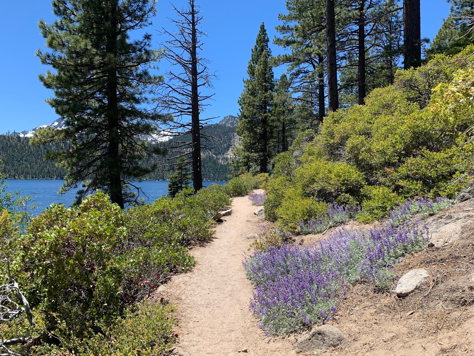
Leaving Emerald Bay, the trail crosses over a small peninsula that makes up the northern guard rail of the bay. I loose site of the lake through this section, but in it's place, I make my way through beautiful alpine forests. At these elevations (6k-ish feet) the snow has all melted for the year, but some of the white fluff is still visible on distant peaks.
Soon, the trail returns to the lake and rewards the traveler with crystal clear blue hues in both the lake and the sky above. Both are occasionally interrupted by the occasional granite boulder (lake) and cloud (sky). The pictures from this place are highly regarded as some of the best anywhere and I completely agree. I can't count the number of friends that have these exact landscapes hanging on the walls of their homes, be it something the purchased or their own photographic fruits.
After a short rest, I start the return trip, following the trail back the way I came. I encounter even more hikers this time, but it's not surprising given it is the middle of the day. Finally, returning up the Vikingsholm trail to my jeep, see I've logged just over 10.8 miles. Not a bad day at all and considering the majestic scenery, I really can't think of any place better to have spent it.

No comments:
Post a Comment