Saturday, October 21, 2017

Hickison Petroglyphs and Orionid Meteor Shower (Lander County, Nevada)


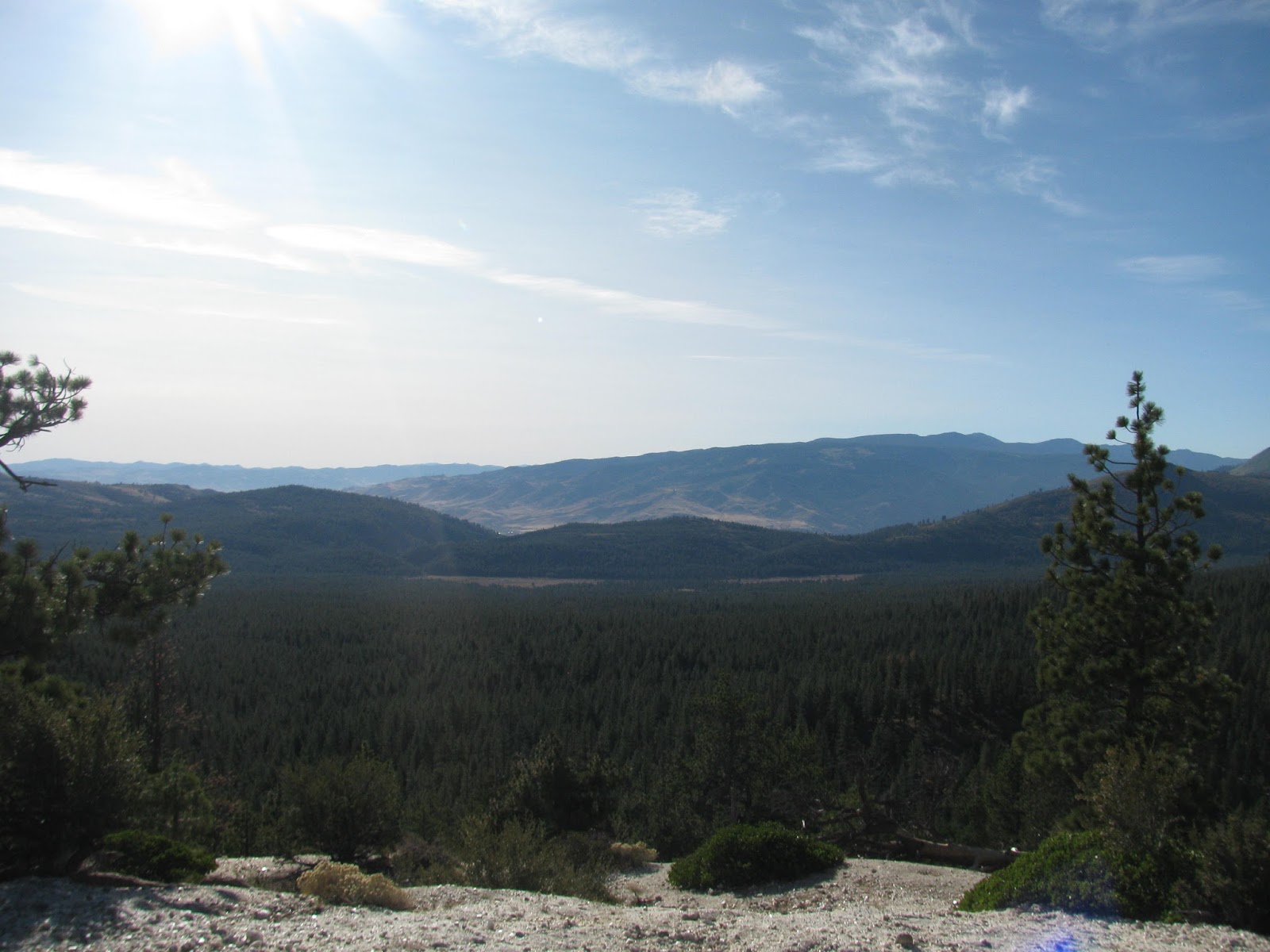
I had been planning to camp near Hinkey Summit in the Santa Rosa Range this weekend, but when my buddy, Nick, contacted me and asked if I would be interested in camping and doing some astro-photography with him, we had to change the location of our plans due to expected cloud cover at that location. Nick suggested the Hickison Petroglyph Site just a few miles east of Austin, NV along US-50. I've visited the site once before, but it was a quick visit during a cold December a few years ago. Another trip to get shots of the ancient Native American petroglyphs at the site in addition to seeing the Orionid Meteor Shower in such a dark location seemed like a great idea.

Driving the three or so hours to the site, we arrived in the late afternoon and began to set up camp. It's forecast to get pretty cold overnight and so, we were sure to brought plenty of warm weather gear. We quickly prepared some dinner over the camp stove and then set out to explore the petroglyph trail.


The site includes about eight campsites complete with picnic tables and fire rings. The petroglyph trail starts just a few dozen yards west of the campground. The first panel we encounter is tucked away under a sandstone overhang. The glyphs are carved more deeply than most other examples I have seen and unfortunately have been imitated by modern visitors carving their initials and other modern symbols into the sandstone. This always an irritating thing to see as it not only disrespects the original artists, but also all those that may wish to enrich themselves in the historical culture of the rock art. It's a shame and I hope future visitors will take this into consideration and not damage the site any further.


Moving a slight distance further, I notice the next panel. This one is tucked away in a tight crevasse, which has likely offered some protection from the centuries of erosion. This panel seems to be intact. The examples on both panels are similar in style to many of the others I have seen over the years at other sites around the western US. The curvy lines and geometric shapes obviously had some meaning to the artist, but it may be lost to us.


Following the trail to an overlook, we arrive just in time to see the sun going down over the mountain. We follow a couple of side trails a short distance, but they don't appear to go anywhere interesting and so we head back towards our campsite. On the way, we stop at one last panel, which is the most densely populated in terms of glyphs. The panel is on a large sandstone rock surrounded by wooden barriers to discourage anyone from defacing it.

Returning to our campsite, I begin starting a fire while Nick gets his camera gear ready. Unfortunately, he didn't bring his tripod mount and has to resort to sitting his cameras on flat rocks. As we enjoy the fire, we catch up on our adventures over the last couple of years. Nick has only recently returned to the Reno area after about three years. 

The sky begins to darken and as the stars start peaking through, we see the first of many meteors shooting through the desert sky. Last night and tonight are predicted to be the peak of the annual Orionid Meteor Shower, and with the moon setting at just an hour or so after sunset, the night should be great for viewing. Soon, we extinguish the fire and the sky becomes nearly pitch black with the Milky Way coming into plain view. We decide to get a few hours sleep and get back up around in a few hours when the meteors should peak.

At 2:00 AM, it's cold outside and I'm reluctant to leave the warm environment of my sleeping bag and tent, but the meteors await. I throw on my jacket and head out to meet Nick at his cameras. We stay out and observe the shooting stars for thirty minutes or so before returning to our respective tents to finish out the night.

*Photo courtesy of Nick Parrillo

We rise early, break camp, and head back to Reno. It was a quick camping trip during a fairly cold night, but the shooting stars, petroglyphs, and company made it more than worthwhile. I look forward to our next adventure.

Saturday, October 14, 2017

Red Run V: The Hunt (Storey County, Nevada)

Note: Picture courtesy of Google

Always on the lookout for interesting new adventures, I read about a zombie-themed "race" held in Virginia City for the last few years. After researching it further, it sounded like an exciting time and so I assembled a team of friends to participate. While we had some basic idea understanding that it was a combination race and puzzle room, it turned out to be a great experience.

I met up with my friends Lacey and Gen near the starting area. We decided to call ourselves the Whiskey Rebels, as Lacey and I had met through a series of whiskey classes a couple of years ago. Our three-person team, along with several others were guided into a metal storage unit (the kind you see on trains or cargo ships) and the door was sealed behind us. As we awaited the start of the race, the "zombies" began shaking the container, scratching at the walls, and making all sorts of hideous sounds. While not exactly scary, it did add a lot to the immersion.


As the gun sounded and the container doors opened (opposite end from where we entered), the fifty or so runners poured out onto the streets of downtown Virginia City and right into a zombie horde. Zombie attacks are simulated by use of flags (like those used in flag football). Each team is assigned a set number of flags at the beginning and zombies will try to take the flags. For each flag lost during the event, 2:00 minutes is added to the team's final time.

I was able to bob and weave my way through the undead, but each of my team-mates lost one flag. After getting to a safe zone where the zombies were not allowed to attack, we reviewed the puzzle materials provided and set a course of action. The entire event revolves around following a series of clues in and around the historical structures of Virginia City, the queen of all boom-towns. To keep the event challenging and exciting, zombies are strategically placed around some of the important clues, and while their mobility is somewhat restricted, they do make a good chase of the living.

We did "run" a little bit, but the majority of our efforts were put towards solving the mystery and finding the location of the zombie-antidote, which is the overall goal of Red Run. Along the way, we visited a dozen or so historic residence and businesses. From a mine shaft to an opera house to the old jail, the clues finally lead us to the cure. As it turns out, we did really well and finished in 3rd place. Had we kept all of our flags away from the zombies, we would have won the whole event. Even so, it was a terrific amount of fun and I look forward to doing it again next year.


Friday, October 13, 2017

Flume Trail (Washoe County, Nevada)


Having a little vacation time left to burn before the end of the year, I decided to take Friday off to join the meetup group for a hike along the Flume Trail, which follows the route of a long-retired logging flume from the late 1800's. Very few indications of the actual flume remain, but it is supposedly an outstanding hike with spectacular views of Sand Harbor and Lake Tahoe. It has been on my 'to do' list for quite a while and with the fall colors making an appearance, it seemed like an opportune time to knock this one out.

Meeting at the Sierra Summit Park and Ride, we carpool up to Tunnel Creek Cafe and drop a couple of cars for the shuttle we will need to do later. Then, we caravan up to county road 291, park the remaining cars and then start up the trail towards Marlette Lake. The first part of the trail is relentless uphill, gaining about 1500' over just two miles. 


Finally, the trail levels out as we approach the dam at Marlette Lake. From my understanding, the water from this lake and some of the surrounding creeks once supplied Virginia City during its boom. It's hard to imagine that water would be drawn from so far away, but the high elevation of this lake allowed gravity to be taken full advantage of in delivering the water to its intended destination. 

Marlette Lake itself is a medium sized lake (dwarfed by Tahoe, of course) that sits in a wide, shallow valley above the eastern side of Lake Tahoe. It's a bit windy up here and with temperatures in the mid-40's, the breeze cuts through causing a mild chill. We decide to walk around to the far side of the lake and take a lunch break on little rock peninsula that was once home to a cabin. The cabin was demolished, but the chimney was rebuilt as a monument to a time long past. 


After a short break, we make our way back around to the dam and continue north on the trail back towards our shuttle point. The trail remains pretty level through this section, though it does pass some pretty precarious points with narrow paths around granite walls and far above highway 28, several hundred feet below. Some of these points though allow for some of the best views I have ever had of Lake Tahoe. One spot in particular offers an absolutely outstanding view of Sand Harbor, which is a state park and in the summer, home to Lake Tahoe Shakespeare Festival, which I have had the pleasure to attend numerous times over the years.


Continuing onward, we finally start making our way downward towards the northern terminus. The yellow and gold fall colors are in full affect here, and provide a beautiful backdrop to the well-maintained trail. A bit further and the treeline opens up to offer a great view of the eastern shoreline of Lake Tahoe. 


Eventually, we reach our endpoint at the Tunnel Creek Cafe. While a few of our hikers shuttle back up to get the remaining cars, the rest of us take advantage of the accommodations to enjoy a cold beer and a snack. We covered just about 13.5 miles on the trail today and got to take in some amazing scenery. As always with this group, the company is the best part and I look forward to our next adventure.

Monday, October 9, 2017

Emerald Pools (Nevada County, California)


The Yuba River is one of the jewels of the northern Sierra Nevada. Along it's many forks and routes, it carves some spectacular features into the white granite. From wide pools to steep canyons, it makes for a lot of amazing areas to explore. One of those areas is only about an hours west of Reno and just off of I80. The Emerald Pools provide locals with some amazing swimming holes on hot summer days, but here in mid-October, the water and air temperatures are cold enough to discourage the crowds. I decided to take advantage to check the area out.

As I cross a bridge over the South Fork of the Yuba River, I find the trailhead parking lot completely empty. This is a good sign. I take a couple of minutes to look at the views from the bridge and then head up the trail towards the first swimming hole. It's only about a quarter of a mile through the woods. Along the way, I note a number of fire rings. Apparently, this is a popular place to camp as well - seems like a fine way to spend a summer evening.


The swimming hole is truly an emerald pool. At the head of the pool, the steep rock canyon opens up to a wide pool where the clear water takes on shades of sapphire and emerald as it glimmers in the sunlight. No wonder people come here to swim. 

Following the trail around some of the scree that makes the canyon wall on either side of the small river, I explore a bit further upstream before deciding to head back. In the spring I imagine this was a torrent, but now in the early fall, the waterfalls that were once raging are now only a trickle and I decide to head back.

Crystal Peak Mine (Sierra County, California)


For years, I've been hearing about Crystal Peak Mine just across the California border northeast of Reno. Some months ago, I took the jeep up to another Crystal Peak that overlooks Frenchmans Lake and whenever that one comes up in conversation, I have to clarify the different peaks, which are only about 30 miles apart as the crow flies. As today is a holiday, I decided to finally check this one off of my list.

Driving out I80-W, I took a right at the bottom of the East Verdi exit and followed until I reached Bridge Street and took another right. Following this to Dog Valley Road and following that until it turns into a Forest Service road and heads into the back country. The drive is only a few miles and the road is not overly treacherous, but would be a bit bumpy for a low-clearance car.

Eventually reaching the "parking lot", which is nothing more than a clearing in the forest that has a layer of small loose crystal over it, I can see why the peak got its name. Much larger than than it's similarly named neighbor to the north, people have been visiting and taking crystal from this area for several decades. A sign indicates a 5-gallon daily limit imposed by the forest service, but it would still many more decades (if not centuries) to carry this mountain away.

The entire summit of this peak sparkles is the unmistakable white quartz crystal that is so prevalent in the Sierra Nevada. As quartz is often found near gold deposits, it wouldn't surprise me if prospectors had once thought to get rich from this mountain.


I decide to walk around the summit a bit. In the distance, I can see the clear area that is Dog Valley. Then circling around to the southeastern face, I note some trees who's root systems have been exposed by the crumbing crystal. One has even partially toppled over. It's strange to think they could find nutrients in this white crystal soil, but 'life finds a way' as they say. It's early and with the sun low in the sky, the cold breeze is slightly chilling. However, the advantage of coming early is solitude. As I prepare to leave, I only see on other person and wave as I return to the jeep.