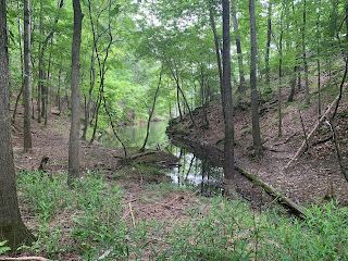
I've got a busy day panned today. First, leading a hike for the Meetup group, followed by a wine festival, and a baseball game to cap it off. I sort of planned all of these things around each other since I was going to be on the north-western side of town. That said, the remains of a tropical storm are currently heading our way and may put a damp damper on my plans. Lets see how it goes. For the hike today, I planned to hike Vineyard Mountain near Lake Allatoona. I had originally posted it to start at a small parking lot near the Red Top Mountain fishing jetty, but after some discussion with other members of the group, I changed it to a larger parking area on the opposite end of the trail near the Riverside Day Use Area. Hopefully, everyone got the message.
Arriving a bit earlier than the posted 8:00 AM start time, I didn't realize that the gate to this area doesn't open until the top of the hour and also that a $5 parking fee is required. Poor planning on my part, but we'll make do. When the gates finally do open, I pull into the large parking area and begin looking for the trail itself. When I return to my jeep, I've been joined by a couple of hikers fro the group. With the gate, fees, and change in location, I decided to (uncharacteristically for me) give people a few extra minutes to arrive. However by 8:10, only three of the registered fifteen are here. Perhaps, they didn't read the instructions or perhaps the potential for rain drove them off. Either way, we've waited long enough and quickly start making our way into the woods.
Coming down from the summit, the trail descends and maintains a nice rolling hill style terrain for the remaining distance. Other than a few fallen trees across the trail, it's pretty well maintained and seeing the fields of grapevines all over the place, I have no doubt no how this small mountain was named. When we finally reach the far end, near my originally planned starting point, we wander out among several families fishing off of the man-made fishing jetty. Here we take a second short break on the tip if the peninsula. One of the other hikers mentions what a wonderful spot this would be for a meditation group and I have to agree. The setting and serenity of this place is quite relaxing. That said, we get some water and start heading back.
For most of the return trip, we follow a similar route, but since we've already summitted, I suggest an alternate route back to the parking lot, which hugs the side of the mountain and eliminates the need for the super steep section again. Just as we reach the cars, the sky starts to drop a light rain on our heads. I wish my fellow hikers a wonderful day and head to the restroom. I take a few minutes to rinse off some of the sweat and change clothes, before heading to my next stop. I'm sure the other wine enthusiasts will appreciate my efforts. Looking at my tracking app, I see we've covered 7.6 miles, which is more than I expected, but still makes for a good day.


No comments:
Post a Comment