I'm really not in shape to run a half-marathon, but I signed up for the 4 Bridges Half-Marathon in Chattanooga some months ago and I'm determined to see it through. In addition to the half, there is also a full marathon, 10k, and 5k going on this morning. The full marathon and the running event as a whole are referred to as the 7 Bridges Marathon Weekend.
I got into Chattanooga yesterday afternoon and enjoyed a relaxing evening in my room. Waking early, I dressed, packed, and checked out of the hotel before walking the 1.3 miles or so through downtown to the races starting point. This walk included walking the Walnut Street Bridge over the Tennessee River. This bridge is for bikes and pedestrians and is actually a pretty cool feature of the city. I suspected it would be part of the race course.

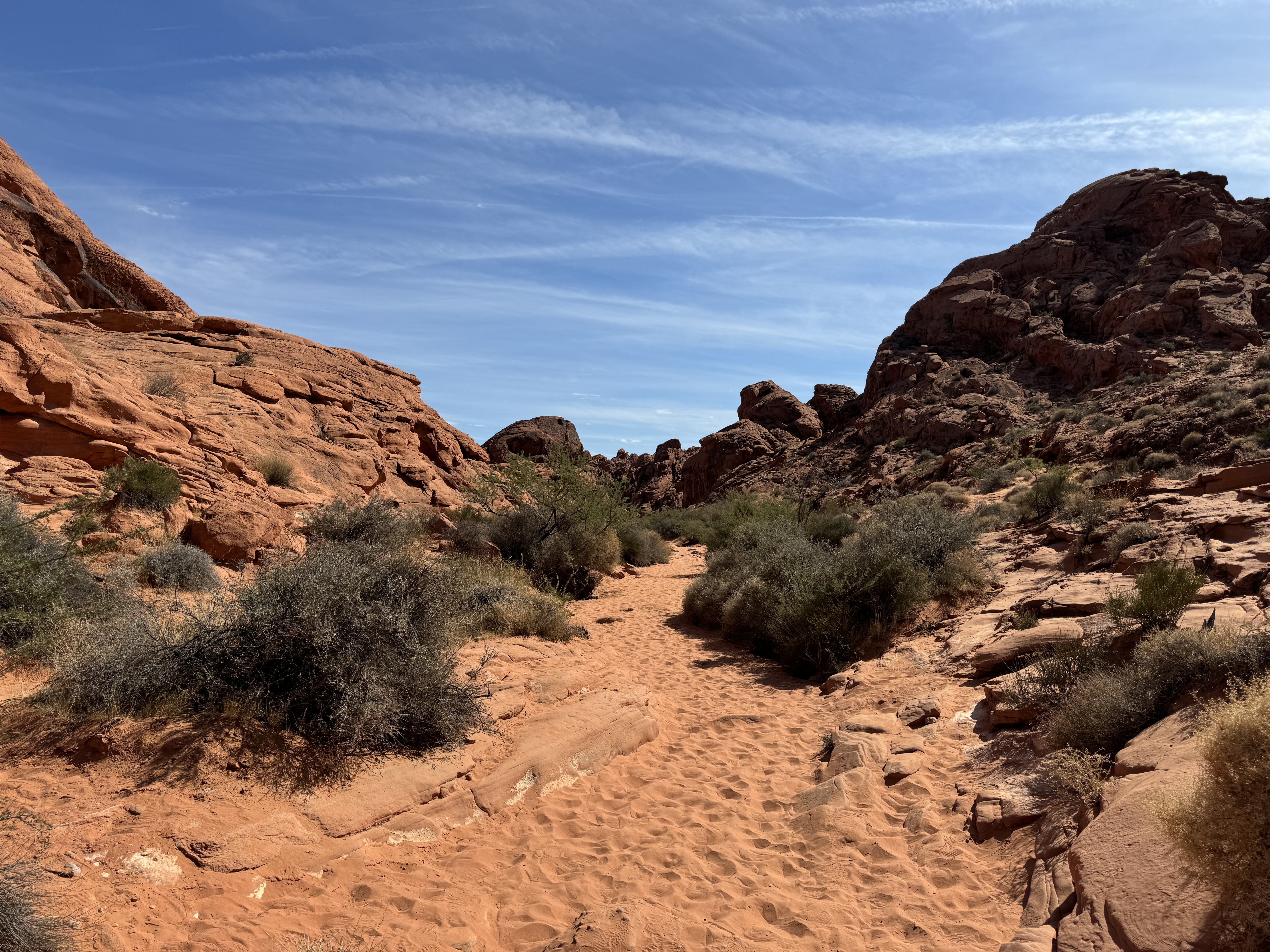
With the sun beginning to rise in the east, all of the runners line up at the starting line and with the blow of a horn, we set off on our 13.1 mile journey. The race route twists and turns through the city and in the process crosses several bridges as we go back and forth across the river. Eventually, the course flattens out and we head east along a well maintained river walk for the majority of the distance.
In addition to not really be in shape for this, I've been struggling with some recurring running injuries over the past couple of years. My old knees have been giving me problems and I often wear compression supports, but opted not for today's race. Today though, it will be an entirely new area that experience pain in. About three miles into the race, I notice a slight throbbing in my left Achilles tendon. It progressively gets worse and I'm forced to walk. Prior to the pain starting, I was doing okay and holding about a 10:00 minute pace, but with significant pain now, I'm forced to walk the majority of the rest of the distance. It's disappointing, but not surprising.

All of that said and even with my poor performance, this was a really nice and well-organized race. The course was very scenic and crossing the river four times along the route was actually pretty cool, especially with the sun rising. I would definitely recommend this race to anyone interested.