Azure Lake (El Dorado County, California)
Last year about this time, I hiked to the summit of Maggie's Peak above Emerald Bay on Lake Tahoe. From the summit, I could see a beautiful lake to the south and after researching it, I found that it was named Azure lake. When I saw that one of the local meetup groups was planning a hike to it, I had to take advantage; not only because of the destination, but also because the good people that I know and have hiked with in that group. Most of us met on the west side of town and carpooled down to the Bayview Campground near South Lake Tahoe, while others just met us at the trail head.

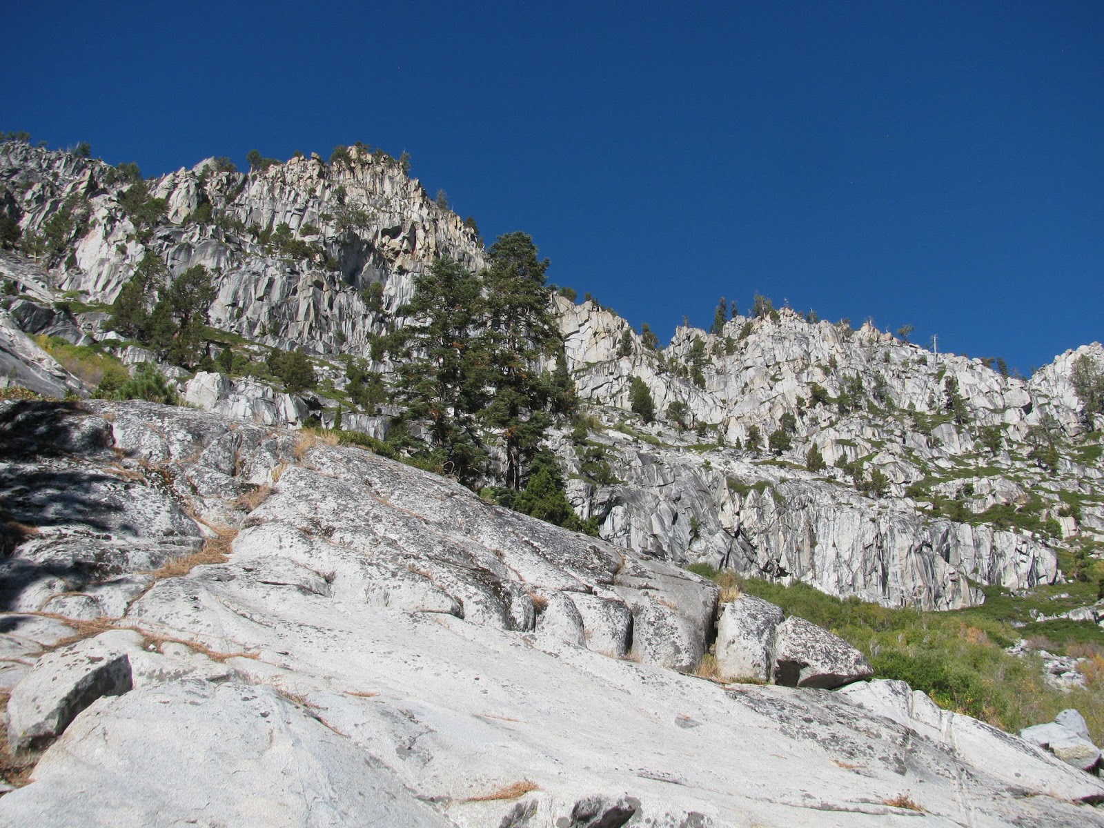
The trail starts easy enough, but quickly devolved into a network of interconnected trails with some game trails thrown in for good measure. The sixteen of us in the group spread out to look for the continuation of the true trail and finally stumbled across it. Unfortunately, the trail was still pretty rough and had a number of fallen trees across it. We perceived and pushed on towards the lake. I always enjoy outings with this group due to the good conversations, great pace, and overall positive outlook. Most are a few years older than me, but that just adds to their charm. I hope to be as active as some of them are in a few years when I am their ages.

Finally, we reached the fork in the trail between Snow Lake and Azure Lake. Our organizer had suggested visiting the smaller and greener Snow Lake first, and so, we headed to the left. A short distance further, we reached the lake. A young couple was breaking down their camp on the granite shoreline when we arrived. It seemed like an amazing spot to pitch a tent and I may have to revisit it sometime.
We spread out on the rocks along the shoreline and started eating our packed lunches. I've recently come found and purchased small single-serve packs of herbed olives, which are great for hiking. I enjoyed a couple of packs of those, some cashews, and a Clif bar. After a short rest, we turned back the way we came, returned to the fork, and headed up towards Azure Lake.
This is where the trail, or whatever you want to call the general direction we went, got more difficult. Separating us from the lake, was a 80'ish foot tall cliff made of granite slabs and boulders. I always enjoy a little rock scrambling and this offered a great opportunity for some fun. Three of us followed this more difficult path, while the majority of the group went around to look for a more shallow ascent. It was a bit challenging, but we finally reached the top. We actually got slightly separated from the other group and after exploring the part of the lake where we popped over the ridge, we circled back around to rejoin the others, who had found a nice granite slab reaching out into the appropriately named Azure Lake. The rich blue of the waters are broken only by submerged granite reaching up from the center of the lake to form small islands. I suspect there are several more in even more dry years, but they add character to the lake.

After a short, rest we decide to head back. Once again though, we split into to different groups. The smaller group returned the way we came, but the ladies I car pooled with wanted to take a different path that was reported to be a bit easier and asked if I would join them so we could arrive at the trail head together. I generally don't like returning the same way I came in for a hike and agreed to go the 'easier' way. As it turned out, I had hiked this way back last year when I climbed Maggie's Peak, but the trail was much better maintained. We arrived back at the trail head just a few minutes after the other group enjoyed a nice cold beer. In total, my GPS tracking showed has have trekked about 7.3 miles, but some of my fellow adventurers were showing distances as great as 9+ and so, I'm unsure of the exact distance. Regardless though, it was a great hike with some great people.


No comments:
Post a Comment