
In all of the years I have lived in Reno, I have only been on one hike on Peavine Peak, which is the third tallest peak on the horizon.Today, would be my second. As I have been pushing myself hard for many runs and hiking trips this season, I'm trying to take advantage of every outing I can to get myself in shape. When I saw a hike posted on the Reno Hiking Meetup group to do some trails at Peavine, I had to take advantage of it.
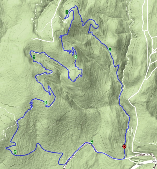
Getting a start 9:30 at the East Keystone trail head, I met up with Nick and Jim, my hiking companions for the trek. Nick, the organizer, is a believer on starting on time, which I appreciate. And so, we hit the trail promptly. We expected it to be something of a muddy mess and the trail did not disappoint. Luckily, Nick is very familiar with the trail system and guided us through the myriad of junctions.
As this was advertised as a training hike, we didn't plan on taking any substantial breaks, which was just fine by me. In truth, this is simply sagebrush/high desert terrain with very little in the way of uniqueness. Its all about the exercise. As we sway too and fro, following the muddy, but well-defined trail as it hugs the contours of the canyons, we talk about careers, other hikes, and general attitudes towards the outdoors. My new friends seem like good chaps.

Approaching what Nick refers to as the 'Serenity Tree', he asks if anyone needs a break, as I'm pretty good shape at present and Jim is a fit 24 years old, we agree to keep moving. The tree itself though warrants a picture, as it appears to be the only tree on this entire side of the mountain.

Moving on a bit further, we arrive at a spot that Nick describes as one of the best vistas on the this trail and I take a moment to get a picture of Reno, in the valley below us. We push on and find ourselves hitting patches of snow that we sink into up to our knees and a sea of mud (not as bad as Hunter Creek a couple of weeks back, but still muddy).

The final section follows a blacktop road between the Western and Eastern Keystone trail heads, before arriving back at our starting point. Total distance was just shy of 7.5 miles over just under three hours. Given the terrain and trail conditions, that's not bad time. I bid my new friends farewell and head for home.
No comments:
Post a Comment