This will be my third attempt at doing this short backpacking trip in Death Valley. I tried two years ago and was foiled by poor weather, and then again last month, only to face similar conditions. Originally, I had planned to be in Buckskin Gulch in southern Utah this weekend, but after talking with the BLM, it sounds as though the gulch is currently flooded with deep water. So as an alternative, I decided to take one more attempt at the Cottonwood-Marble Canyon Loop just north of Stovepipe Wells. My friends Gen and Emily joined me.
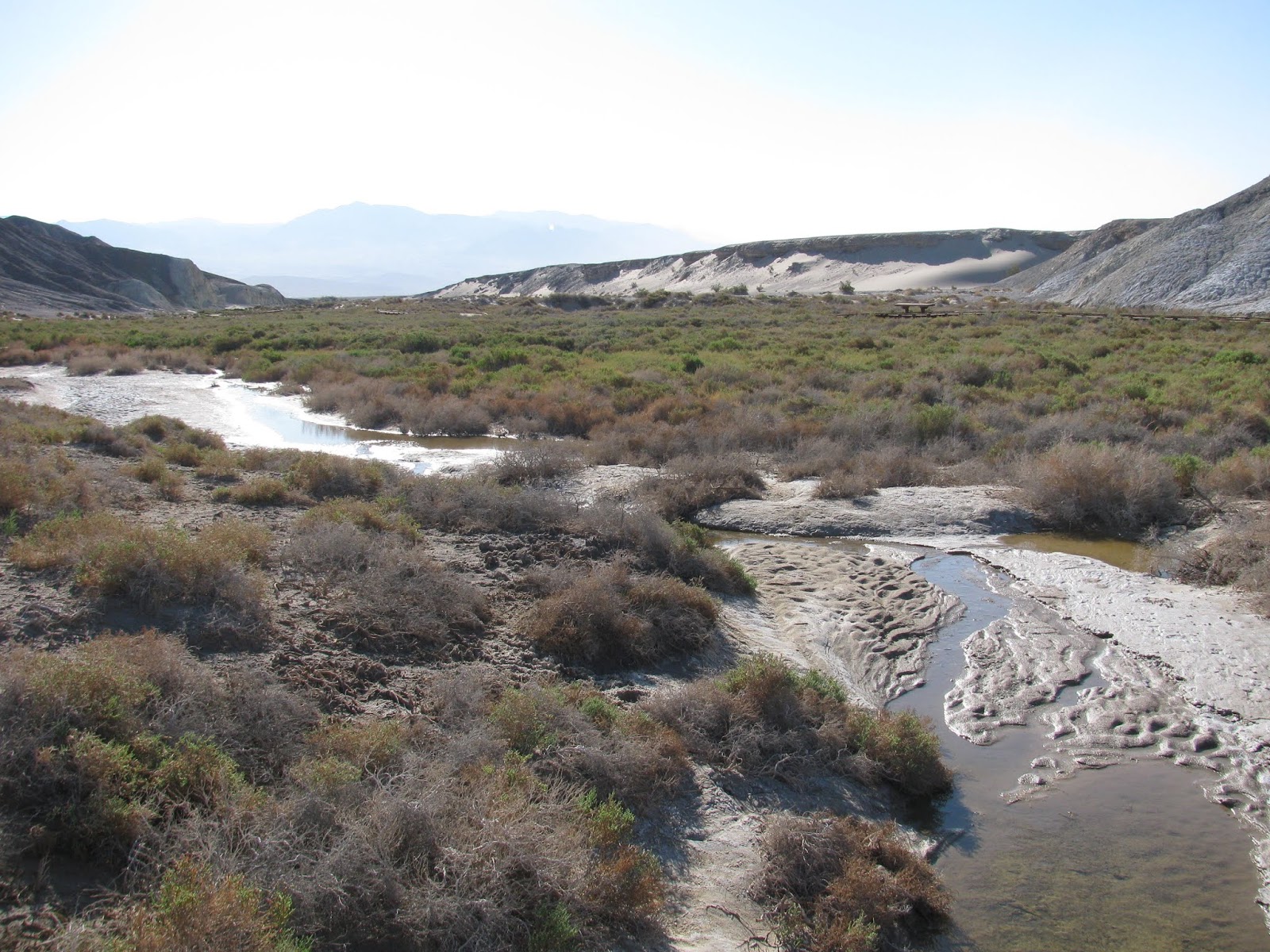
We met last night and camped in Sunset Campground near Furnace Creek. Arriving late, I decided to cowboy camp under the stars and it was a great experience. Temperatures and winds were just perfect. After packing up, we did a short hike down the Salt Creek board walk, before driving the out some fairly rough roads to the fork of Cottonwood and Marble Canyons, which would be our starting point for this trip.
From the area where we left the vehicles, the canyons open up widely and as we head up Marble Canyon, we get into a discussion about clockwise versus counter-clockwise. Some comedy ensued, but eventually, we agreed that we would do the hike in a counter-clockwise direction, which leads us into Marble Canyon first.

For the first few miles the trail is pretty easy. The dry wash is surrounded on either side by slopping cliff walls that will close in tighter and tighter as we make our way up the canyon. After about four miles, we reach our first obstacle, the boulder-jam. Sometime in the distant past, a large car-sized boulder has rolled down the dry creek bed and blocked off the upper canyon. While we know there is a way around the jam from our trail research, we decide to take this opportunity and the shade of the large boulder for a short snack break. Hundreds of butterflies are in this part of the canyon and Gen, takes the opportunity to play among them. It is actually a pretty cool scene to see so many of the small orange beauties flapping their wings.

After we make our way up the canyon wall and around the boulder jam, we push onward. The canyon narrows into much more of a slot canyon and we begin to find signs of past visitors. Some historic scratches on the wall tell of pioneers making their way up this dry canyon over a century ago and being helpful, they mark that a water source is a further five miles up the canyon.
Just beyond the pioneer markings, we begin to see more ancient markings in the form of Native American petroglyphs. This is one of the things that attracted me to this trail and I'm glad to have found them. We take a few minutes to observe and try to interpret their meaning. I've been interested in rock art for some time, but Emily is actually an archaeologist who searches for and studies these ancient markings as part of her job. It's nice to hear her educated perspective on the symbols.

Further up the canyon, we reach the next big obstacle in our path - the dry falls. Today though, it's not quite dry. A green, mossy flow of water trickles over the white alabaster to form a tiny stream of water flowing further down the canyon. We knew this was coming, but pause for a moment to determine the best way to overcome the 8-12 foot climb in our path. Emily checks out the holds on the right of the canyon and I explore the left. I'm not much of a climber, but I clumsily manage to pull myself over the edge and reach the top. I had left my pack at the bottom and Gen rigs a para-cord on it before I pull it up over the edge. My companions are much better climbers than I am and manage to make it up part of the way with their packs on before handing them off to me and pulling themselves over. Gen slides a bit and scraps up her leg, but we take care of it at the top.

The dry falls will be our last big obstacle for the day, but before moving on, we decide to take advantage of a pool at the top of the fall to refill our water. While we have reports from the rangers and other hikers we have encountered to this point, it's always best in a place like Death Valley to take advantage of every water source you can find.
Moving into the junction of Marble and Deadhorse Canyons, we begin searching for a spot to put down our tents for the night. We finally settle on a previously used site under a large cottonwood tree. We all take a short time to relax before pitching our tents and preparing some dinner. At this higher elevation, the temperatures are a bit cooler and we take major notice of this as soon as the sun dips down behind the mountain to the southwest. Originally, I had not planned to put the rain fly on my tent, but my companions convince me that it might get colder than expected overnight and that the rain fly will provide one more layer of warmth while sleep. I agree and attach the thin fabric over the top. As the evening darkens and the stars begin to appear, we decide to turn in, each heading to our respective tent set up in a triangle pattern around a dinner circle.
Day 2
It seems whenever I camp in the backcountry, I wake with the sun, and today is no different. Waking up to birds chirping in the nearby cottonwood, I change clothes in my tent before unzipping and heading out to relieve myself. It seems I'm the first to wake and I decide to get some breakfast going before waking my hiking partners. Granola with wild blueberries and milk will be the featured dish this morning. I've had this selection previously and it's quite tasty. I also prepare my normal earl gray tea for that little caffeine boost.
My companions begin to stir and make their way out of their tents and over to the dining area to prepare their own breakfasts. We talk about the best way out of this canyon. We know the direction we need to go, but we also know that the path over the two ridges separating us from the wide section of Cottonwood Canyon is steep and somewhat elusive. From reports I have read, past visitors talk about not really have a trail and just finding the most doable path over the two ridges.
We break camp and start up the sagebrush covered hills toward the high point of the trail. It's steep and pretty slow going with full packs on our backs, but we eventually make it to the top. My altimeter shows our elevation to be nearly 4,800' on the top of the ridge, which is quite high considering we started yesterday near sea level. From here there is no particular trail down, but we make our way into the wide canyon, more of a valley really, and eventually the wash a the center. Along the way, we encounter a couple of other groups going in the opposite direction. It seems that clockwise is the most popular route, but from our experience so far, we have made the correct choice by going in reverse.

We find a few more worn petroglyphs in this wide valley and a number of interesting plant specimen before finally reaching the mouth of Cottonwood Canyon, our next and last major obstacle. As the spring feeding Cottonwood Creek is much more generous than it's companion in Marble Canyon, the vegetation has grown to be a thick tangled mesh of living and dead cottonwood trees, bushes, and other assorted flora.
We spend the next few minutes finding a passable route through the mesh, before stopping at clear pool in the stream to refill our water and take a snack break. From here and for the next hour or so, we fight our way through the net of brush, the muddy stream, and the steep cliff sides of the canyon choke-points, eventually dropping out down canyon in one piece.
As the canyon opens up, we take note of some wild mustangs starring at us from a distance. They are cautious, but don't run off as we approach. We leave the trail and make our way around them at a distance of about fifty yards, trying to stress them as little as possible while make our way down the canyon.
Reaching another wooded area of cottonwoods and then another, we finally reach the second spring, which is also flowing, but this time as only a trickle of water. Luckily, these lower two wooded areas are much smaller and tamer than what we encountered up canyon and we are able to quickly push through them. As we arrive at the end of Cottonwood Road, which is our planned campsite for the evening, we discuss the possibility of pushing on and finish the trail today. The campsites here are not as outstanding as what we had last night or even further up the canyon, and since it is only a little after 2 PM, we are pretty confident we can make it out before dark.
Discussing it a bit more while we rest and get some calories in our bodies, we finally decide to make the push. We know that a passable road leads all the way back to our vehicles and that the hike will be easy. We've covered about ten miles to this point today, which means we will have another nine or so to push through before sun down.
As we thought, the hike is very easy from here on out with no true obstacles. We do find a few pieces of liter, including a grill grate, which we pack out with us. The canyon here is very beautiful, but nothing like what we have been through over the last two days.
About three miles from the end, we find a large cave in the cliff wall and decide to explore it a bit. The covered space is probably about fifteen hundred square feet and their are signs that this is often used as a camping spot. It probably was for the ancient peoples in this area as well as modern adventurers.
Finally reaching our parked cars, we remove our packs and consider that we've hiked 18.6 miles just today with full packs on our backs. The trail in total was 27.8 miles over two days. Quite and adventure and I'm thankful to my companions for joining me on it. We've had a terrific time and seen some beautiful scenery along the way. To reward ourselves, we head back into the saloon at Stovepipe Wells for some cold beers and warm food.